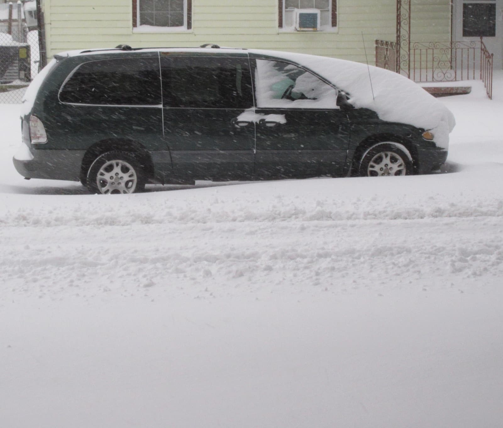
Even Shreveport, Louisiana's snowiest corner, misses measurable snow in half of all winters, and New Orleans records it only about one winter in fifteen. Then came January 21, 2025, when the heaviest snow in the state's modern record fell on the coast itself.
Measurable snow here is a rare, dated event, and every one on record is below
Dated and sourced
Louisiana's real snow events
January 21, 2025
The Great Gulf Coast snowstorm. A once-in-generations arctic setup dropped roughly 8 inches on New Orleans, with over 11 inches at Chalmette, the state's heaviest snow in modern records. The NWS office in Lake Charles issued its first blizzard warning ever for portions of Louisiana. NOAA's event summary called it a historic snowstorm that shattered records dating to 1895. "New Orleans saw its snowiest day since records began in 1948 with a total of 8.0 inches."(NOAA Climate.gov event tracker)
December 11, 2008
The earliest measurable snow in the modern New Orleans record. Before 2025, the benchmark recent event: an early-December storm whitened southern Louisiana, with measurable snow at New Orleans Lakefront and about 3 inches at Baton Rouge in the GHCN daily record. (NOAA NCEI GHCN-Daily (New Orleans Lakefront, Baton Rouge Metro))
NOAA's daily station records put a number on rare: the share of 1991-2020 winters with any measurable snow (0.1 inch or more), and the earliest it has ever come. A trace of flurries, the kind that makes the local news, does not count in these figures.
Rarely and memorably. New Orleans records measurable snow about one winter in fifteen. The January 21, 2025 Gulf Coast snowstorm was the extreme outlier: NOAA reports about 8 inches in the city, the snowiest day in records that begin in 1948, with over 11 inches at nearby Chalmette.
The northwest. Shreveport records measurable snow in about half of all winters, usually in January, with a record earliest of late November. Odds fall quickly toward the coast: Baton Rouge and New Orleans go years between snows.
January 21, 2025, and it was the biggest in the state's modern records: roughly 8 inches at New Orleans and 10 or more in nearby communities, with the NWS Lake Charles office issuing its first blizzard warning ever for portions of the state.
At least 0.1 inch of snowfall accumulating in a day at an official station, which is the National Weather Service convention used throughout this site. Flurries that melt on contact are recorded as a trace and do not count, which is exactly why famous southern "snow days" often do not appear in the record books.
Event details quote the National Weather Service and NOAA directly; station figures are our derivation from NOAA NCEI GHCN-Daily records (measurable = 0.1 inch or more in a day). National picture: first snow dates for every state