
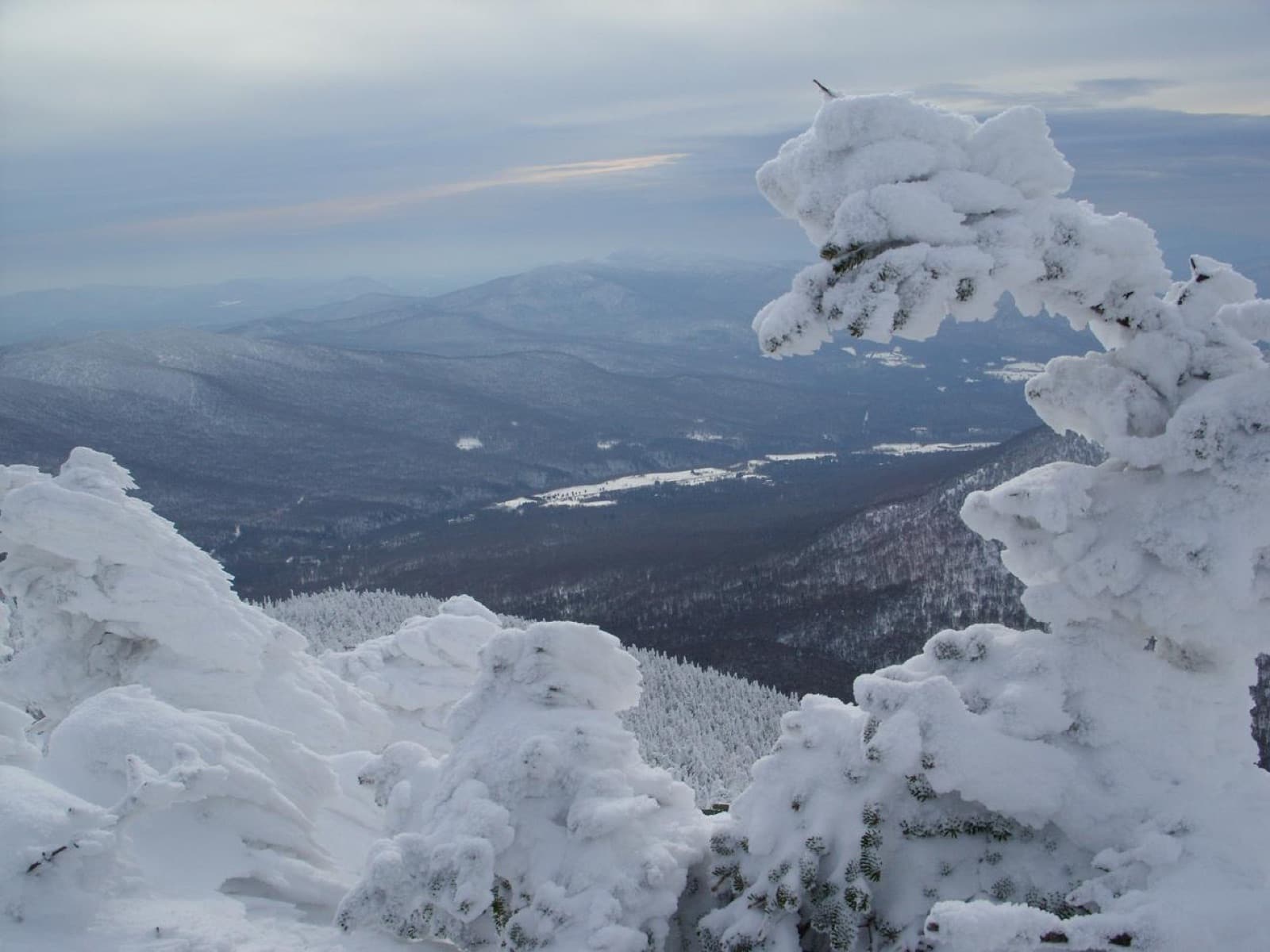
Massachusetts Winter Forecast 2026–27: Snow, Cold & First Snow
Typical first snow December 2 · Boston averages 49 in a season — plus NOAA's Dec–Feb outlook for the state and what's on the ground right now.
First snow typically December 2 · 22 days awayThe Massachusetts snow season at a glance
NOAA 1991–2020 normals · BostonBoston's record 110.6 in winter of 2014–15 came almost entirely in a single 30-day stretch — the "Snowmageddon" pattern that shut the MBTA for days.
What NOAA's 2026–27 winter outlook means for Massachusetts
NOAA's Climate Prediction Center issues a probability tilt — above, below, or equal chances — for temperature and precipitation, three months at a time. It is the only government seasonal forecast that exists, and it does not, and cannot, forecast snowfall totals or specific storms.
Where this tilt comes from: Each state's tilt here is read straight off CPC's official Dec–Feb probability map, at the three reference cities listed on that state's page. CPC forecasts by region, not by state: its probability bands cross state lines, so where a state's three cities land in different bands the tilt shows as equal chances. Check any state against CPC's own map. See CPC's official Dec–Feb outlook map →
What it means for snow: More storms, marginal cold: expect an active winter where the rain/snow line decides everything. Elevation and the interior are the safer snow bets; valley and coastal totals often finish below normal in this combination.
Northeast context. CPC's Dec–Feb map, reissued October 15, favors a milder-than-normal winter across the whole Northeast, with odds of 50% or more across most of the region. The wet tilt runs up the coast: New Jersey, southern New England, New Hampshire and Maine lean wetter than normal, while Pennsylvania, New York and Vermont read as equal chances on precipitation. That is the classic strong-El Niño pattern, an active coastal storm track with marginal cold. CPC adds that El Niño and the westerly QBO tend to keep the polar vortex strong and steady, which slightly lowers the odds of the stratospheric warmings that set off long Arctic outbreaks. For snow lovers: storms are likely, the rain/snow line decides everything, and the interior highlands are a safer snow bet than I-95.
Snow on the ground in Massachusetts right now
| City | Snow depth now | Snowfall next 7 days | Coldest low next 7 days | Normal season |
|---|---|---|---|---|
| Boston | loading… | — | — | 49 in |
| Worcester | loading… | — | — | 64 in |
| Pittsfield | loading… | — | — | 68 in |
Loading live conditions…
Snow depth map around Boston
Current modeled snow depth across the surrounding terrain, or flip to the 7-day snowfall forecast. Enter a ZIP to recenter anywhere in the country.
Modeled snow depth on the ground around Boston, MA. This is a weather-model estimate, not a gauge reading: it misses drifts, shaded hollows, and freshly plowed lots. For official observations see NOAA's NOHRSC snow analysis or a nearby SNOTEL site.
Boston winter normals, October–April
| Month | Avg snowfall | Avg high | Avg low |
|---|---|---|---|
| October | 0 in | 60°F | 46°F |
| November | 1 in | 51°F | 37°F |
| December | 9 in | 42°F | 29°F |
| January | 15 in | 37°F | 23°F |
| February | 11 in | 39°F | 25°F |
| March | 8 in | 46°F | 31°F |
| April | 1 in | 57°F | 41°F |
NOAA NCEI 1991–2020 climate normals for Boston, rounded. Seasonal total (49 in) includes May–September trace months not shown. January is the snowiest month. State record low: -35°F, Chester, 1981.
Massachusetts's snow belts
Berkshires
Pittsfield & the Hoosac Range
Worcester Hills
Worcester averages ~64 in
Cape Cod ocean-effect snow bands
One of Massachusetts's snowiest zones — expect totals well above the Boston normal.
Massachusetts winter-prep checklist, by date
The first frost is the warning shot. Typical first frost in Massachusetts: October 12 — see the Massachusetts first-frost page.
A hard freeze typically follows the first frost by about two weeks. Backflow preventers and above-ground manifolds crack first — this is the single most expensive thing to skip.
Book the HVAC tech before the first cold snap, when every company's schedule fills. Test the CO detector — furnaces and generators are the two winter CO sources.
Median first measurable snow in Boston is December 2; one winter in ten it arrives by October 30.
With a normal January low of 23°F, Massachusetts homes are built for cold — the risk is the unheated garage, crawlspace, or vacation property.
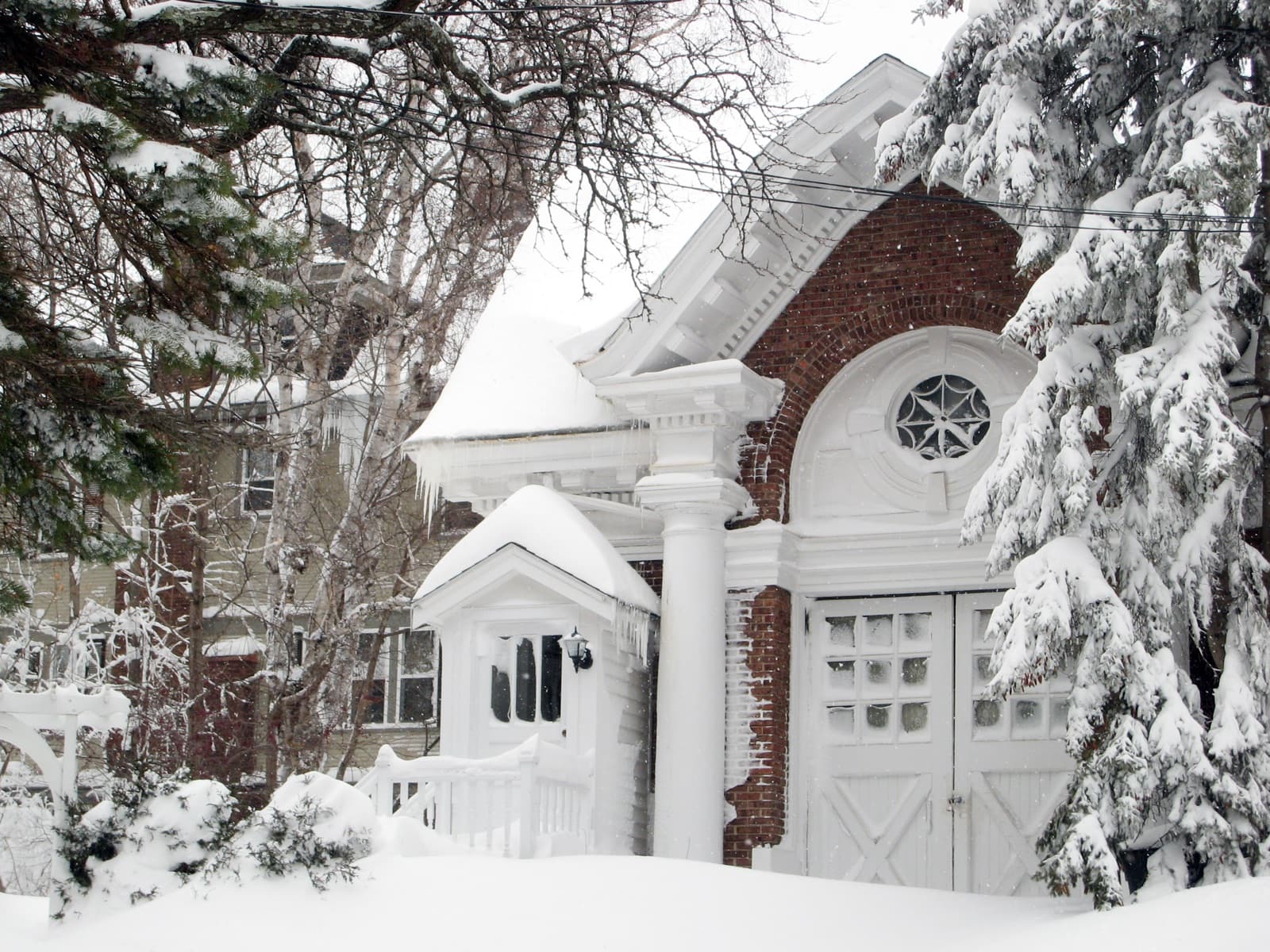
Ice storm risk in Massachusetts: moderate
Massachusetts sees freezing rain a few times each winter, usually as a brief glaze at the start or end of a storm rather than a multi-day event — though the interior and valleys can trap cold air and get a real ice storm once a decade.
Freezing rain needs a specific sandwich: warm, moist air aloft sliding over a shallow layer of below-freezing air at the surface. That is why the ice belt runs from Texas and Oklahoma through the Ozarks, the mid-South, and up the Carolina Piedmont into the mid-Atlantic — places where arctic air arrives thin and Gulf moisture arrives on top. CPC's map tilts Massachusetts wetter than normal this winter, which raises the number of storms that could set that sandwich up — worth a generator check.

What a seasonal outlook tells you about snow
Day-to-day weather is unpredictable beyond about two weeks. What seasonal forecasters have instead is the background state — mainly ENSO, the El Niño / La Niña cycle in the tropical Pacific — which nudges the jet stream's average position for months at a time. NOAA's Climate Prediction Center turns that nudge into a probability: "40% chance of above-normal temperatures" means 40%, with 33% the climatological baseline. A 33/33/33 split (equal chances) means they see no usable signal at all.
Snowfall is harder still, because it needs cold and moisture to line up storm by storm. A warm, wet tilt can deliver a huge snow winter if the cold arrives on the right three days, or a washout if it doesn't. Independent verification studies consistently find CPC temperature outlooks carry modest skill in winter (most of it from ENSO and long-term warming trends), precipitation outlooks less, and almanac-style snow forecasts none. So: use the tilt to lean your planning, use the 30-year normals on this page as the anchor, and use the 7-day forecast for anything that actually needs a decision.
This year's background state: El Niño conditions are present and still strengthening. In its October 8, 2026 ENSO Diagnostic Discussion, CPC put the chance of a strong to very strong El Niño lasting through January–March 2027 above 83%, and gave an 83% chance that the October–December season sets a record (+2.5°C or more, 3-month RONI) for any El Niño since 1950 (70% for November–January). CPC is explicit that impacts consistent with El Niño become more likely with an event this large, but are not guaranteed.
- A stronger, southward-shifted Pacific jet stream: wetter than normal across the southern tier from California to the Southeast, especially in late winter (Jan–Mar).
- Milder than normal across the northern tier — Pacific Northwest, northern Rockies, northern Plains, Great Lakes, and Northeast — with below-normal snowfall often following from the warmth, not from a lack of storms.
- Drier than normal across the northern Rockies, northern High Plains, and parts of the Great Lakes and Ohio Valley; mainland Alaska trends drier and milder.
- Nor'easters and Gulf-coast storms are often more frequent in strong El Niño winters; whether they fall as snow or rain in the mid-Atlantic is the big unknown and depends on the cold supply week to week.
- Ice-storm risk climbs in the Southern Plains and Southeast when a wet southern storm track meets shallow cold air — exactly the setup strong El Niño favors.
Massachusetts winter forecast FAQ
More Massachusetts seasonal timing
More Northeast winter forecasts
Climatology: NOAA NCEI 1991–2020 U.S. Climate Normals for Boston and the cities listed; state record lows from NCEI state climate extremes. Outlook: NOAA Climate Prediction Center seasonal outlook issued October 15, 2026 — a probability tilt, not a snowfall forecast, and the state-level tilt shown here is taken from CPC's official Dec–Feb probability map at each state's three reference cities, since CPC publishes probabilities by region rather than a call per state. Live values: Open-Meteo model data, not gauge observations. Hero image: “Rime ice on Jay Peak” by Runningonbrains, CC BY 3.0. National picture: the 2026–27 winter outlook for every state → · national snow depth map →